
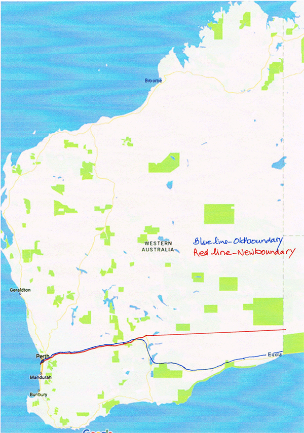
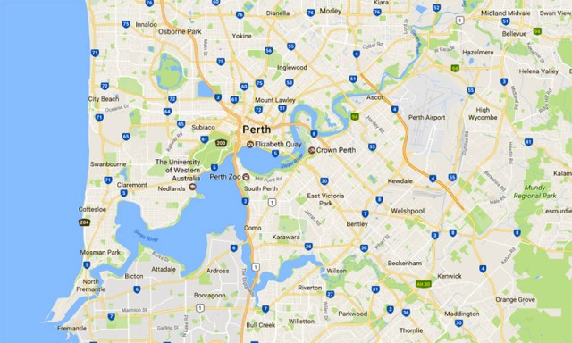
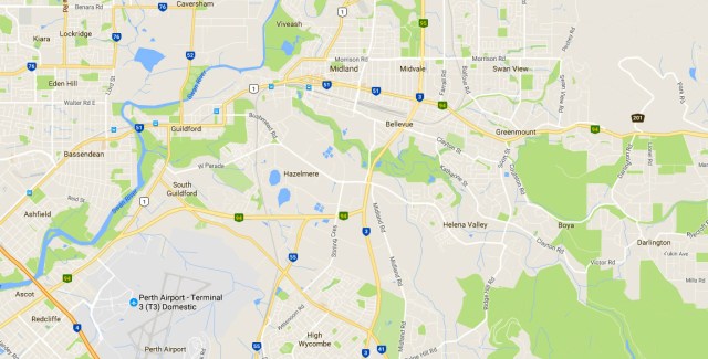
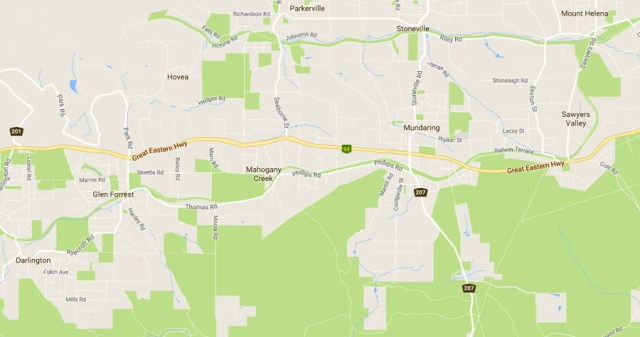
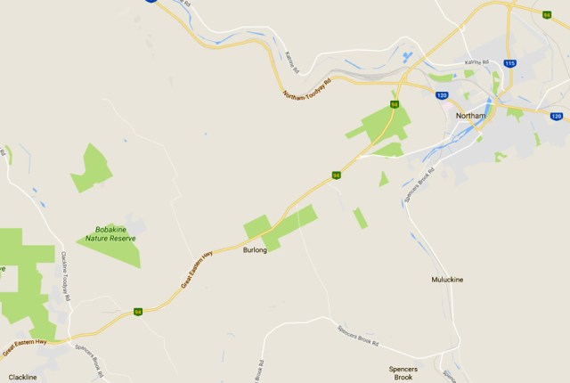
We set out to define the border between Area ‘A’ and Area ‘B’ of Western Region. Traditionally the boundary was known to be the Swan River. Travelling upstream from Fremantle to Guildford is a clear geographic line but the river then veers north. Rather than continuing to follow the river north we have altered the boundary running from the bridge over the Swan River at Guildford following Bridge Street and James Street and leading directly to the Great Eastern Highway. The boundary then continues in an easterly direction to Kalgoorlie. See map 2.
The State of W.A.
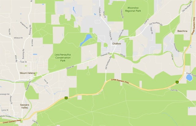
With the exception of Midland, which lies in Area A, all the other towns along the Great Eastern Highway currently belong in Area B. Acacia Prison (previously in Area B) is transferred to Area A due to the fact that Area A has been actively working in this prison for many years. This will continue as Area B has seven prisons and Area A only has two, including Roebourne Regional Prison. See map 5 which shows the location of Acacia Prison and Woorooloo Prison Farm.
 The New Border
The Great Eastern Highway/boundary goes into the northern part of Kalgoorlie, becoming Hannan Street, and then meets National Route 94 Alternate. The old boundary between Areas A and B followed the Coolgardie-Esperance Highway south and east to the South Australian border.
The border from the end of Hannan Street, Kalgoorlie where it meets National Route 94 Alternate (map reference -30.742334, 121.478034) then runs due east to the north of Rawlinna, directly to the South Australian border (map reference -30.319562).
Map 1.
Map 2.
Map 3.
Map 4.

Map 5.
Map 6.
More maps to come – watch this space.
